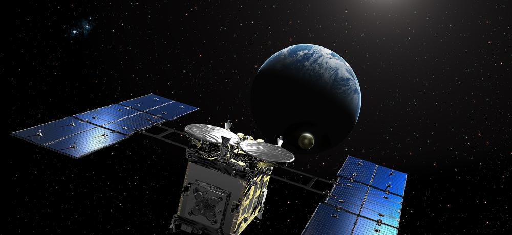
Satellites Map Earth's Ocean Floors in Unprecedented Detail
Skyler Ware
27 January 2025
BLUF
The revolutionary satellite tracks ocean currents, coastal nutrient transport and tectonic plate movement direction changes enhancing biodiversity data. Global freshwater availability and currents are mapped and underwater hills, volcanoes, and tectonic features detected.