BLUF
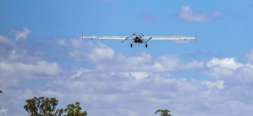
The devastating floods that hit northern NSW in February and March left a lot of debris among the area's dense sugar cane fields. Firefighters were able to use sophisticated drones to map the debris to help harvesting machines avoid this debris.Summary
This article by Katherine Smyrk and Sandra Moon, writing for ABC-Australia, makes the following points:
- It's almost time to start the sugar cane harvest, but flood debris in cane fields makes it dangerous for farmers to undertake the work.
- Drones are being used to map debris in the fields.
- Items such as fridges, washing machines, water tanks, gas bottles—even a caravan—have been discovered.
- Because the cane is too thick to go in and take the debris out, a second drone with a high-resolution camera is sent in to map the field.
- That map is turned into a computer file and fed into the cane harvesting machines' GPS software to help operators avoid debris.
References
Recent Runway Posts related to this topic:
References from the Web:
- JUN 2022 Drones now tracking feral pigs and other pests as farmers lean in to agtech—ABC
- JUL 2022 Fire & Rescue NSW Drones Deployed To Find Flood Debris In Northern Rivers Cane Fields—NBN News
Source Information:
- Article Source: ABC News (Australian Broadcasting Corporation)
- Media Check: ABC News - Media Bias Fact Check (mediabiasfactcheck.com)
- RAAF RUNWAY: RATIONALE, GUIDELINES, LEARNING OUTCOMES, ETC |


